This Undiscovered Hiking Gem near the Beltline Includes a Stream for Splashing
Grand Rapids has a secret park.
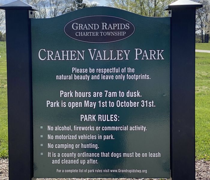
Crahen Valley Park, among more than 50 hiking trails in West Michigan, is a far cry from the busy East Beltline corridor just a mile and a half away. Most people don’t even know it’s there.
Crahen Valley Park lives up to its name, as most of the park is located in a deep valley not visible to those just driving by.

Things to Know About Crahen Valley Park
4355 LEONARD ST NE, GRAND RAPIDS, MI 49525
The park offers a relatively flat, paved bike trail looping around a large lawn area up top, with gravel, dirt, or grassy hiking trails as you head into the valley to the small, sandy creek.
Signage or trail markers are absent from this park. Bring a compass or phone to navigate if hiking.
Crahen Valley Park is open May 1 – Oct 31.
This Grand Rapids Hike Leads to Water
We walked a good portion of the valley.
While we didn’t check every trail, I would not recommend a stroller for the valley portion of this hike. Strollers and scooters would do well on the paved bike path near the Crahen entrance parking lot.
To find the sandy stream at Crahen Valley Park follow the paved bike path till you see a white birdhouse at the top of a gravel path.
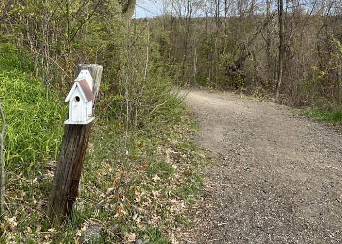
This marks your big descent into the valley.
You’ll need to go all the way down the hill.
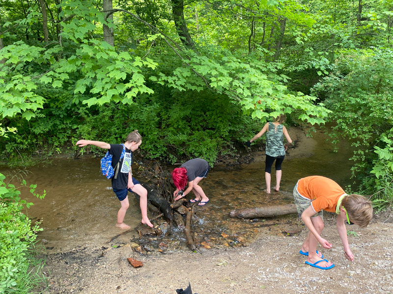
Follow the trail straight across the meadow for a short distance and you’ll find a concrete bridge with access to the sandy stream.
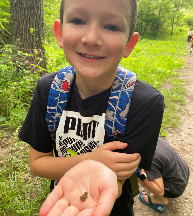
This stream was made for splashing on a warm day! Curious kids can also search for snakes, frogs and other creatures.
This Park Will Challenge Your Sense of Direction
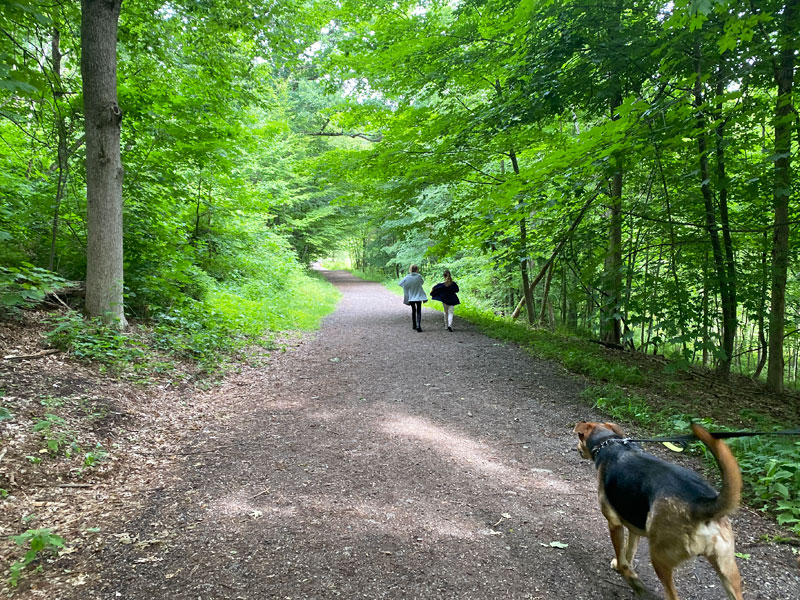
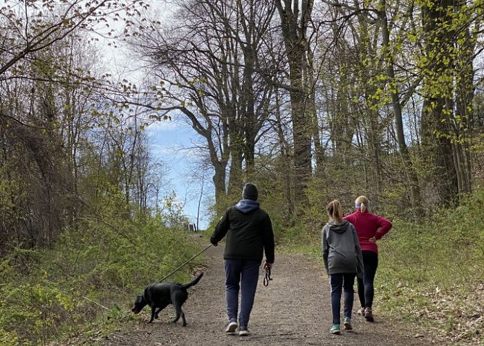
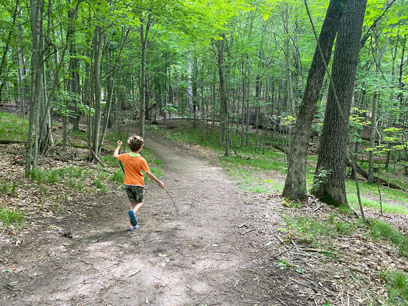
If you’re looking to make this more of a hiking Grand Rapids adventure, continue on from the bridge and follow the hard-packed dirt trail into the woods.
We kept to the left on the trail, following rolling hills through a hardwood forest. From there, things got interesting.
Because there are no marked trails or signage – and many different hiking trails that crisscross the area – it can be hard to know which way you’re going or how to get back to where you started.
Bring a phone with a map app or a compass to help you navigate. In general, Leonard Street forms the south border of the park, and eventually, Knapp will form the northern border. If you get turned around, start heading south and you’ll likely be going the right way.
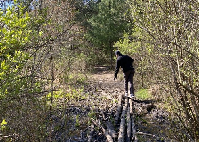
Along the way, we encountered a grove of pines, muddy crossings, ponds, and lots of hardwoods. There are a few open meadows.
Everything was beautiful.
We spent 1-hour hiking and went 2 miles. My foot got drenched trying to cross the stream.
It was truly an adventure.
If you have some time to kill exploring, Crahen Valley Park is a fun place to go.
If you have kids in tow on the hike, bring lots of snacks and plan to get lost – or just do an out-and-back hike from the concrete bridge and call it good.
FAQs
Are dogs allowed at Crahen Valley Park?
Yes, but they must be leashed. It is a very popular spot for dogs!
How long is the hiking trail at Crahen Valley Park?
Crahen Valley Park is 3.1 miles long.
What is the difficulty level of the hiking trail?
This is a moderate trail, with some bigger hills.
How long should you spend at Crahen Valley Park?
All in all, plan to spend at least an hour exploring the park.
Is Crahen Valley Park accessible?
Crahen Valley Park is partially accessible, only on the paved trail.
The Future of Crahen Valley Park
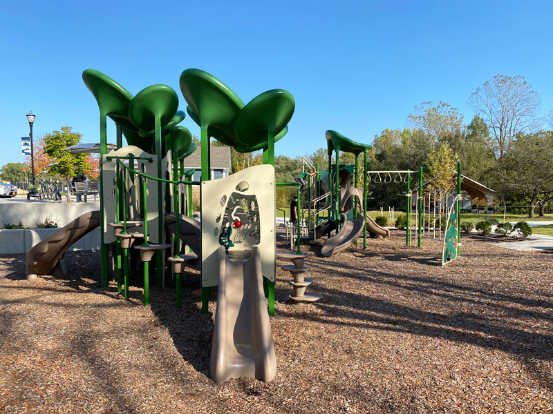
The Crahen Valley Park Master Plan includes a list of amenities families will love, like an ice skating pavilion, fishing pond, and themed-playground.
Other future plans include year-round restrooms, walking trails, fat-tire bike trails, and cross country ski trails.
Map of Grand Rapids Parks and Trails
Find your next outdoor adventure near you with this map of the best hiking trails, playgrounds, and parks in West Michigan.
This was my dad’s farm. I am glad to see it spotlighted.
You referenced Knapp Street earlier as in forming the northern border, I believe you maybe meant Knapp Court?
Yes, I am sure Melody meant Knapp Court. My wife and I have hiked all the way across and we thought we were coming out on Knapp but it turned out to be Knapp Court.
There are so many opportunities in the park to go on a variety of great hikes. We hike there fairly frequently. What a gem and it sounds like it will only get better!
Did you start you hike from the park parking lot? Did you go west or East to start?