Hiking & Walking Trails – Grand Rapids & West Michigan
How often have you gotten the urge to go for a hike, but didn’t know where to go?
There are so many well-kept trails in West Michigan to choose from, with rivers, lakes, mature forests, dunes, bridges and more. When you’re looking for outdoor things to do in West Michigan, which hike should you try today?
We’ve tracked down all the best hikes and walking trails and grouped them by area to help you find your next adventure.
We’ve included tidbits like how long the trails are, how hard they are, what kind of surface you’ll be walking on, and if you can bring your dog.
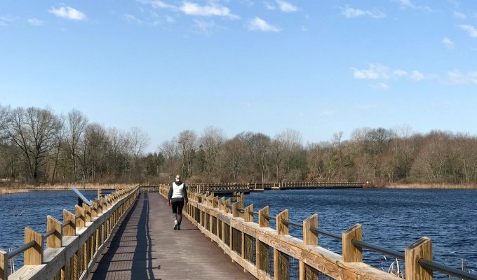
So, lace up those shoes and get ready to explore West Michigan!
Walking Trails in West Michigan
Hiking & Walking Parks Directory
Don’t wait to experience Michigan in all four wonderful seasons on a trail near you – we’ve got the walking trail info you need in this guide.
Whether you want a chill walk or a tough workout, West Michigan has it.
PS – Most of these walking trails are free (some charge a small fee or a parking fee). We’ve checked a lot of these hiking trails off of our list and can’t wait to add some more before the year is over.
Cascade, Ada & Lowell Walking Paths
East Grand Rapids, Grand Rapids & Kentwood Walking Paths
Comstock Park, Rockford, Sparta & Greenville Walking Trails
← Return to West MI Trails Directory
Park Managed by
Park Website
This fun park also boasts many different interest areas, including two floating docks, two overlook towers, an amphitheater, interpretive center and campfire sites available for rent.
Located in Northern Kent County, Howard Christensen Nature Center is 135 acres of natural ecosystems with a wide variety of plants and wildlife. Some of the plant species were imported in the 1940s and are only found in a few places in Michigan.
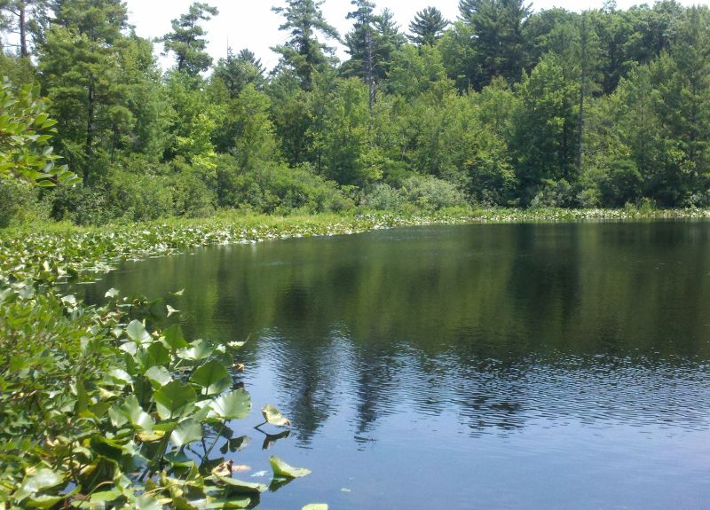
The kettle lake is home to Jaws, the resident snapping turtle. Miles of swamp and ponds were once part of a manmade lagoon.
Howard Christensen Nature Center was originally developed as an environmental education center for Kent Intermediate School District.


Hiking Trail Details
 Trail Difficulty: Easy
There are 12 different well-marked natural surface hiking trails at HCNC. Each is designed for walking, running, snowshoeing and cross country skiing.
Trails range from 0.25 miles to 1.5 miles. Pick up a trail map at the Welcome Center and decide which habitats you'd like to explore. Options include wooded, marsh, bog, farmland, forests, ponds and lakes.
Wildflowers and wildlife are abundant and vast.
Some unnamed trails are meant for limited activity to allow wildlife privacy, but are used during special programs.
About the Interpretive Center
Hundreds of animal displays, both taxidermied and live. There are also picnic tables, a critter room, bird wall, fossils and a rain garden. The nature center hosts classes throughout the year.
Facilities at Howard Christensen Nature Center
Restrooms & interpretive center are on-site. There is a retreat center available for rent.
What's Unique About Howard Christensen Nature Center?
Help us chart the progress of Chrishaven Lake's evolution into a bog with the Citizen Science Project. Simply stop by our Chronolog station on the south dock. Take a landscape photo, as directed by the Chronolog sign, and email it to upload@chronolog.io with the subject line HCN-101 and we will be able to chart the lake’s progress through a time lapse video.
Howard Christensen Nature Center Features & Amentities
Dog Friendly, Hiking Trails, Interpretive Center, Lake or River, Picnic Tables, Restrooms


Byron Center, Caledonia & Hastings Walking Trails
Places to go Walking in Walker, Wyoming, Jenison & Grandville
Places to go Walking in Hudsonville, Zeeland & Allendale
Holland & the Lakeshore Walking Trails
Great Hiking Trail Day Trip Destinations
Tips for Using Hiking & Walking Trails
Keep these tips in mind while hiking the walking trails of Grand Rapids.
- It’s common courtesy to stay on the right side of the path when others are approaching.
- Wait your turn on the stairs.
- Pack in and pack out your trash.
- Bring sunscreen and bug spray (we keep a set in the trunk of our car so we’re always prepared!)
- Bring water for everyone.
- Binoculars and/or a compass can make any hike an adventure.
- Check for ticks when you’re done
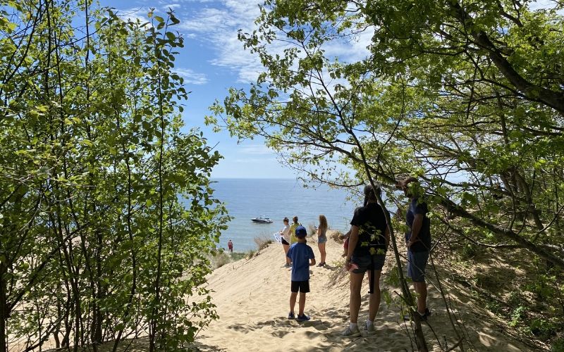
West Michigan Walking Trails and Hiking Map
We’ve taken a map of West Michigan and plotted favorite family walking trails, parks, and more on it to make it easier for you to find your next outdoor destination.
Use the map or look below for reviews on all of our best walking trails in Grand Rapids and beyond.
Find Walking Trails Near Me
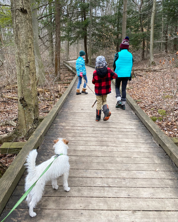

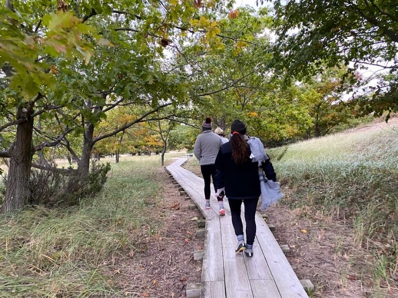

We love Hemlock! Our family goes there often.
Be careful when going to aman park. You will need bug spray. Lots of mosquitoes!! Other than that highly recommended 🙂
We went to the Calvin College Nature Preserve. I didn’t realize their trails were free and open until sunset. Grabbed fellow mom, Allison Hoogheem Kampmueller and her kids, and off we went! It was beautiful! Thanks for posting the info.
We went to the Calvin College Nature Preserve. I didn’t realize their trails were free and open until sunset. Grabbed fellow mom, Allison Hoogheem Kampmueller and her kids, and off we went! It was beautiful! Thanks for posting the info.
I really don’t know what I’d do without you guys and these ideas. Now we’re headed for a hike tonight!
Mel – you have officially made my job easier at church as I plan out hikes for our high school students to train on before we head to Colorado. Muchas Gracias sister!
This is so great. We’ve been looking for trails that are near and a little further.
this is so helpful. thank you!